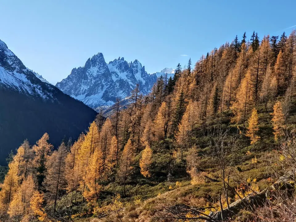
Chamonix Mont Blanc
This town sits in a long valley of the French Alps, between the Swiss and Italian borders. The highlight is the summit of Mont Blanc, the highest peak in the Alps.
There is plenty of accommodation here, from budget to luxury. The town center has a bus station and a train station. The town stretches out in a long line, with local buses connecting almost every point, including the télécabines (cable cars) and the trailheads of the trekking tracks.
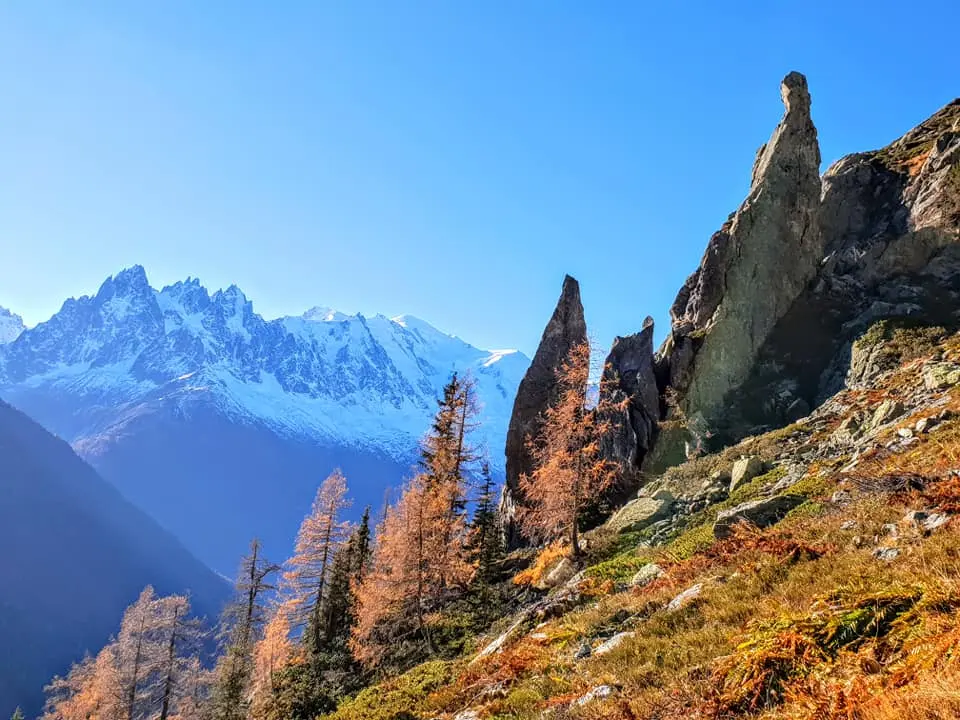
I arrived here in the evening and couldn't go anywhere, so I went to sleep. The next morning the sky looked bad, with lots of clouds. The forecast said it would be cloudy all day but clear the next day, so I asked my accommodation to extend my stay by two more nights. For the first day's trek the weather was poor, so I kept it easy, without needing big views, and went to see a glacier. The mountains flanking the town are on two sides. One side is the French Alps range, with Italy on the other side, and you can see the summit of Mont Blanc from almost everywhere in town. The other side is a range covered in Alpine forest, but it is not as high as the first.
The best trekking here is to walk up on the opposite side and look back at the French Alps side. (Both sides have cable cars up to several viewpoints, but for these two months everything is closed for maintenance, so anyone visiting now will miss out.) Because the weather was bad, I chose to hike on the French Alps side. (This town has a lot of trekking trails.) On this side, almost every trail runs parallel to the line of glaciers, and there are several glaciers. Choose the one closest to your accommodation, climb up to see the glacier, then come back down, and it's done in half a day. (On the route to each glacier, walk carefully as you get close, because there is constant rockfall. Walking along a glacier means walking on rocks, and you have to work out the route yourself, so if you have never done it before, I don't recommend it.)
End of day one
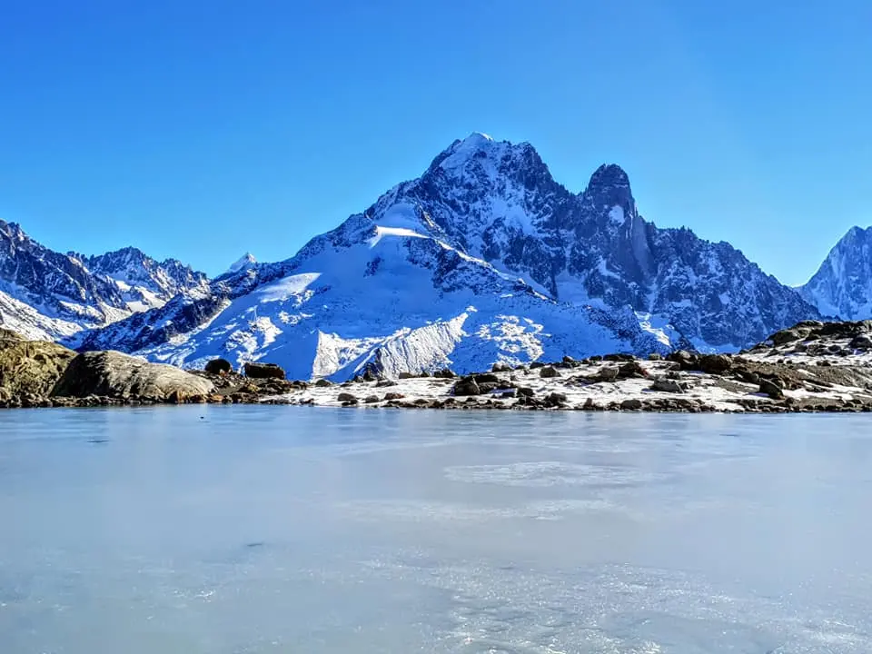
I went back to my accommodation and prepared for the second day's trek, which would be on the other side. The destination was Refuge de Lac Blanc. The refuge is closed right now, so you can't stay overnight. The lake at the refuge is the highlight. (But when I got there I was disappointed, as it was almost completely frozen.) From the trail, looking across to the opposite side, you can see almost every peak of the French Alps. (If you plan to trek here, I recommend this route.)
After studying the route on the map and comparing it with GPS, it wasn't hard to find the way. I took a bus to the trailhead at Montroc, then crossed the railway to the starting point. There are two routes, upper and lower. If you come now, don't take the upper one. It doesn't look walkable, as it is above the snow line. Even on the lower route, close to the destination I still had to wade through snow in several places, and the upper route reaches the destination at a much higher point.
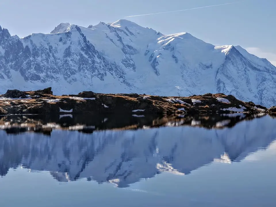
After leaving the tree line, it is all rock, and I hardly met anyone, with just one person passing by every now and then. When I came out of the forest and looked at the other side, the view was a full panorama. I kept walking past several lakes, most of them dry or already frozen. I climbed five ladders to get close to the refuge, and this part was very, very hard, both steep and slippery (snow and ice). I finally made it, sat eating my lunch box looking at the lake, and played some music. It wasn't cold at all, just cool and pleasant.
Time to head down by the other route. (Brutal!) After walking to the cable car's top station, the trail has almost no flat sections and is steep all the way. Once inside the forest, the path was sometimes visible and sometimes not. In some stretches I had to slide down because I couldn't walk at all, and I went head first. I got lost several times, but either way I could only go down, until I reached the road. After a while I heard cars, so I kept going, partly walking and partly sliding, until I reached the road. I followed the road for a while to a bus stop and took the bus back to my accommodation. I highly recommend this route to anyone coming, but you need to be in top physical shape. No hiking experience in Thailand compares. If you have ever hiked Rinjani in Lombok, this is about the same, but harder in that it is finished in one day, though the views are far, far more beautiful.
If you don't want to walk, there is a cable car, but it only goes to one point. To reach the refuge, you still have to walk a long way up from the cable car station.
Cr.Tony Thinnakorn Poonvasin
Planning it yourself?
What independent travellers usually book before they go, from providers that actually work
Thai language, pay in baht
 Photo: Zairon · CC BY-SA 4.0 · Wikimedia Commons
Compare many rental companies on one page
Popular with Thai travellers, Thai-language pages
 Photo: Christian David · CC BY-SA 4.0 · Wikimedia Commons
Museum and landmark tickets, ready on your phone
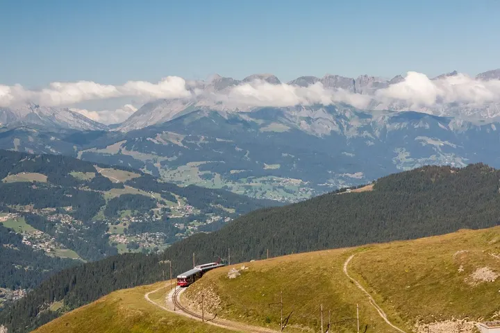 Photo: Markus Trienke · CC BY-SA 2.0 · Wikimedia Commons
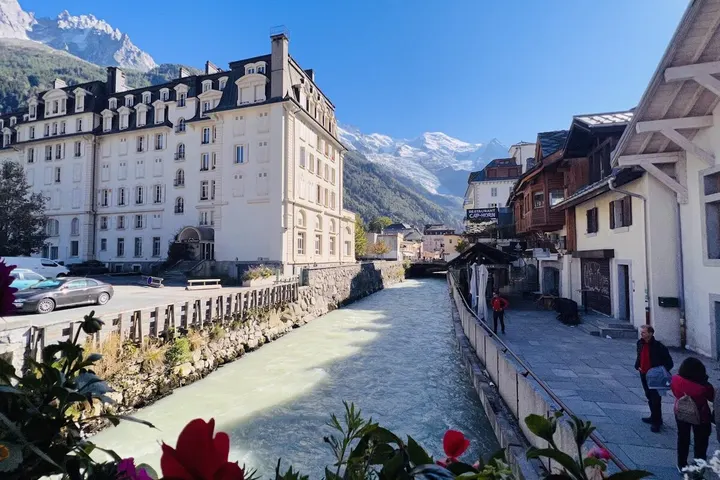 Photo: Josep Sabata · Google Maps
City tours with transport and guide, book ahead
Partner links · we may earn a small commission when you book, your price stays the same
Let Rin design a trip for your group